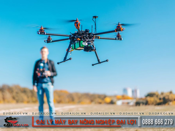
An agricultural flycam is an unmanned aerial vehicle equipped with cameras, sensors, and navigation systems designed for farming, monitoring, and automated spraying. With its aerial view, a flycam allows farmers to manage large areas without physical movement.
Today, its role goes beyond filming fields-it has become a technological assistant for farmers, analyzing soil moisture, detecting pests, and estimating yields. The introduction of this equipment marks a shift from manual farming to precision agriculture.
Countries such as Japan, South Korea, and Vietnam are rapidly adopting agricultural flycams in farming operations. In Vietnam, the number of farmers using aerial technology increases by about 30% annually.
Flycams collect image data and NDVI maps, supporting AI systems in analyzing crop conditions. The integration of flycams, IoT, and farm management software is driving the rise of “Agriculture 4.0,” where all activities are digitized and human error is minimized.
|
Criteria |
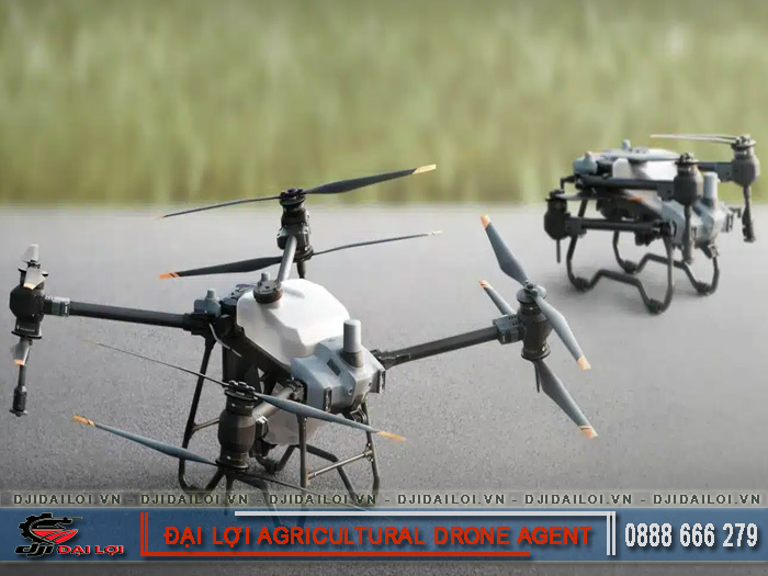
Agricultural flycam |
Commercial drone |
|---|---|---|
|
Purpose |
Monitoring, spraying, agricultural mapping |
Filming, photography, entertainment |
|
Structure |
Equipped with tanks, spray nozzles, and specialized sensors |
Lightweight, high-resolution camera |
|
Navigation system |
RTK or agricultural GPS |
Basic GPS |
|
Price range |
100–500 million VND |
10–50 million VND |
|
Durability and productivity |
Sprays 10–30 ha/day, weather-resistant |
Limited to stable conditions |
The key difference lies in the fact that agricultural flycams are built for continuous operation under harsh conditions, focusing on productivity rather than imagery.
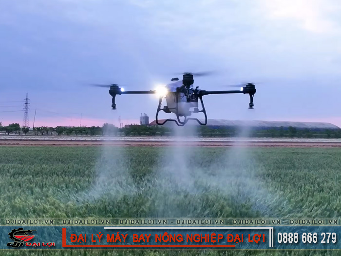
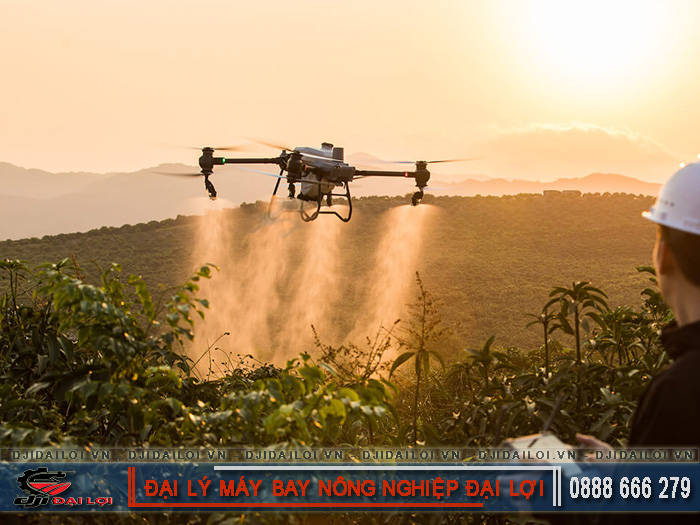
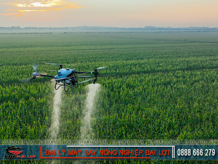
A flycam can survey an entire field in minutes. Multispectral sensors identify areas affected by disease or drought, allowing farmers to take timely action before damage spreads.
Many cooperatives report that using agricultural flycams reduces crop loss risk by up to 40% compared to manual inspection.
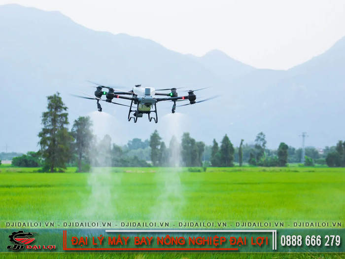
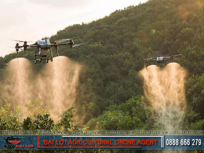
A single spraying drone can replace 5–7 workers daily. With automated navigation, agricultural flycams apply chemicals precisely, saving 20–30% of pesticide use.
Although the initial investment is high, the ROI (return on investment) is typically achieved within 1–2 growing seasons, especially with models like the DJI Agras T50 or XAG P100.
RTK technology and altitude sensors enable flycams to operate steadily on varied terrain. Accurate, even spraying helps plants absorb nutrients efficiently and minimizes waste.
Compared with traditional methods, agricultural flycams increase spraying efficiency by up to 25% while reducing chemical exposure risks for workers.
Aerial data from flycams is transmitted to software platforms for crop analysis. AI systems automatically estimate yield and recommend adjustments in fertilization or harvesting schedules.
This is a crucial step for Vietnam’s agriculture in approaching international standards for smart farming.
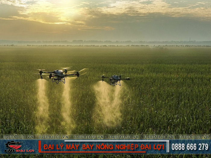
Provinces like Dong Thap, Hau Giang, and Bac Giang have adopted automatic flycam spraying systems, cutting labor costs by over 90%. Each unit can spray 20–30 hectares per day with precise chemical control, minimizing environmental pollution.
Flycams equipped with centimeter-level RTK/GPS sensors create 3D maps of rice fields. This data supports land-use planning, moisture analysis, and identification of low-lying or saline-affected areas-especially vital in the Mekong Delta.
High-tech agricultural enterprises use flycams to monitor hundreds of hectares within hours. As a result, pest detection, chemical use, and fertilizer management become synchronized, reducing total management costs by 20–40%.
RTK (Real-Time Kinematic) technology enables flycams to determine positions with less than 2 cm error. This ensures uniform spraying, eliminates overlap, and enhances operational efficiency while reducing fuel consumption.
AI assists in identifying plant diseases, measuring leaf greenness, and calculating plant density. Multispectral image sensors analyze plant stress levels, providing accurate data for fertilizer or pesticide adjustments.
Platforms such as DJI Terra or XAG One allow flight path setup, real-time monitoring, and production data storage. These systems are essential to making agricultural flycams a comprehensive digital management tool.
Initial costs of 150–300 million VND are a major barrier. However, agricultural flycam rental services are emerging, allowing small farmers to access the technology without owning equipment outright.
According to the Ministry of National Defense, agricultural flycam use must be registered with designated flight areas. Many companies now assist farmers with fast permit procedures to ensure aviation safety and regulatory compliance.
Flycam training centers help farmers learn operation, maintenance, and troubleshooting. Proper training extends equipment lifespan and minimizes accidents during spraying operations.
When agricultural flycams connect to IoT systems, devices automatically exchange data with ground sensors, weather networks, and AI software, paving the way for fully automated and sustainable agriculture.
Vietnamese manufacturers are developing locally made agricultural flycams that cost 30–40% less than imports. This creates opportunities to localize supply chains and boost the domestic agricultural technology industry.
Reducing pesticide use, saving water, and lowering CO₂ emissions make flycams a green technology for agriculture’s future. Precision agriculture not only boosts productivity but also protects ecosystems for long-term sustainability.
In conclusion, with rapid automation and increasingly affordable costs, agricultural flycams are becoming essential tools in Agriculture 4.0. This is not only a technological leap but also a strategic solution helping Vietnamese farmers increase productivity, protect the environment, and ensure sustainable agricultural growth.